

Description

No description for now...
Route
Start
Aylard Farm Trailhead
48.32679, -123.63882912 m
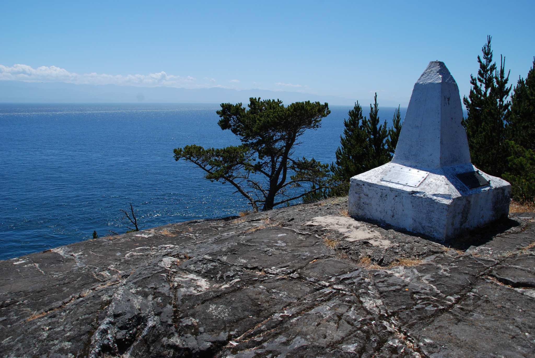
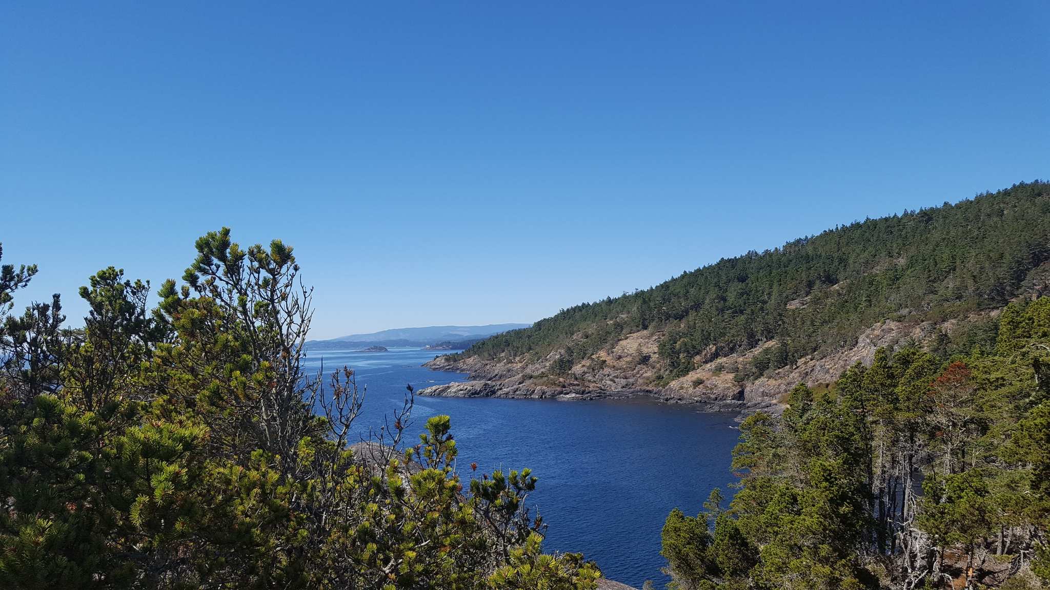
Creyke Point
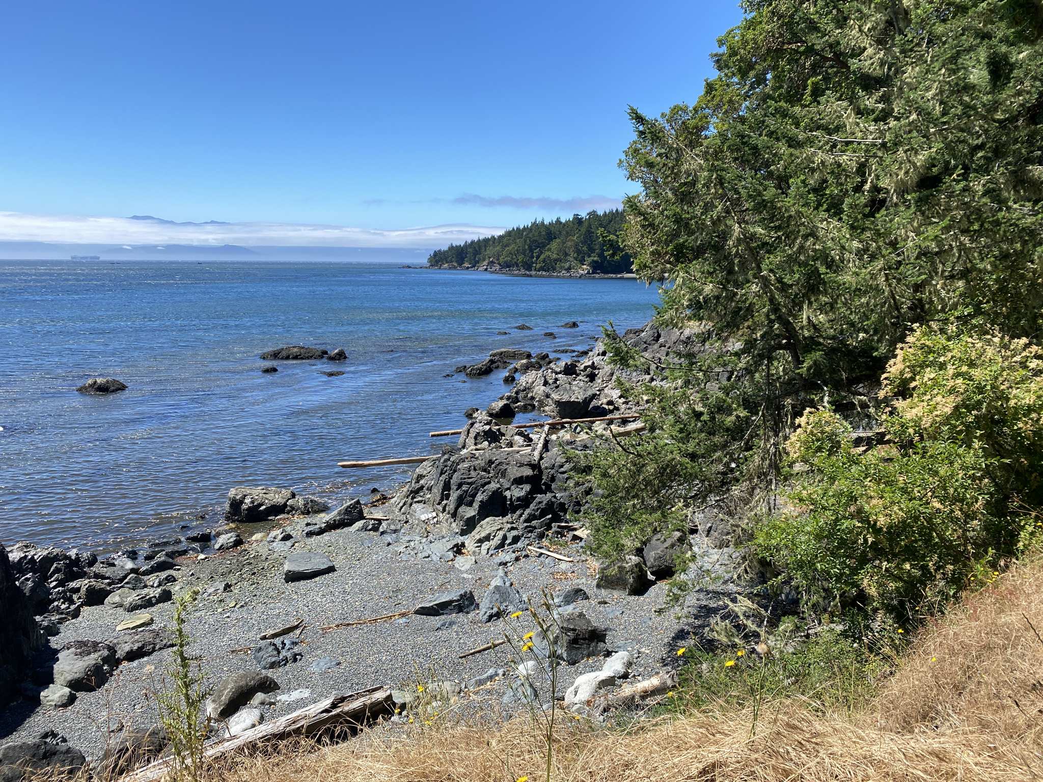
48.32573, -123.63009The Creyke Point Trail is a 1.5-kilometer out-and-back route with stunning views of Becher Bay and the surrounding coast. Starting from the Aylard Farm parking lot, the trail meanders through lush foliage and with occasional spur trails that lead to the beach. The trail up to the point is generally easy, but as you draw closer to Creyke Point, it becomes rocky and more challenging toward the end. The final push up to Creyke Point features some scrambling, but your reward is some truly breathtaking panoramic views of the coastline and ocean.
1.70 km
Whales
48.32216, -123.637152.47 km

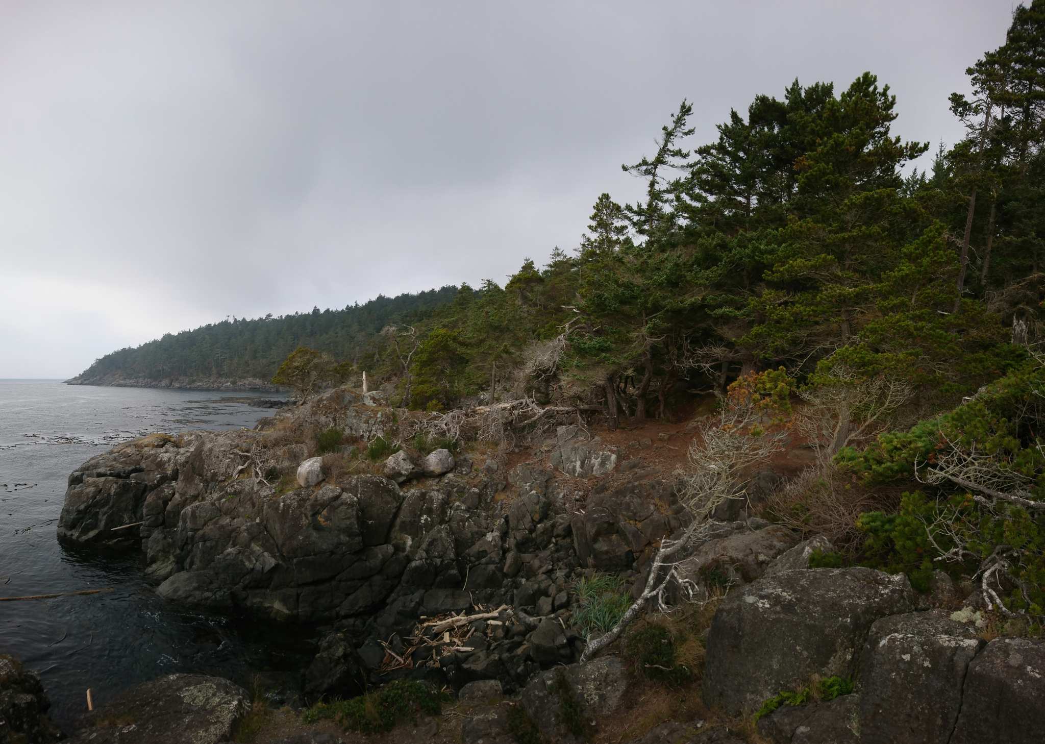
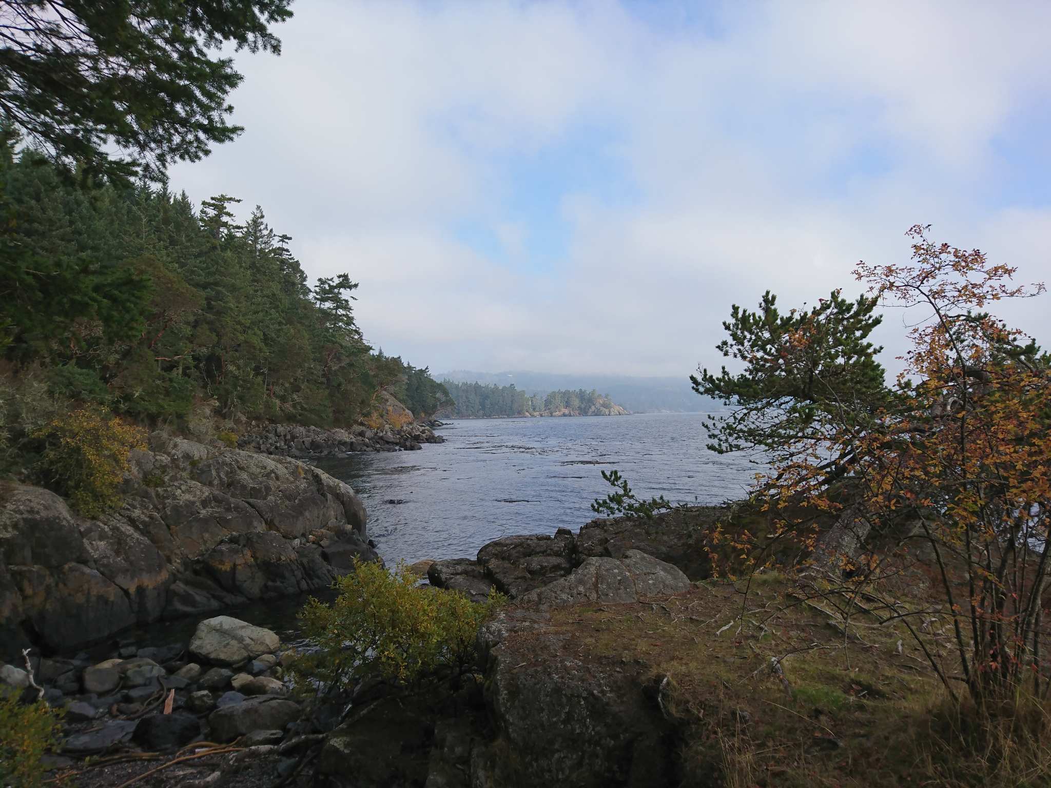
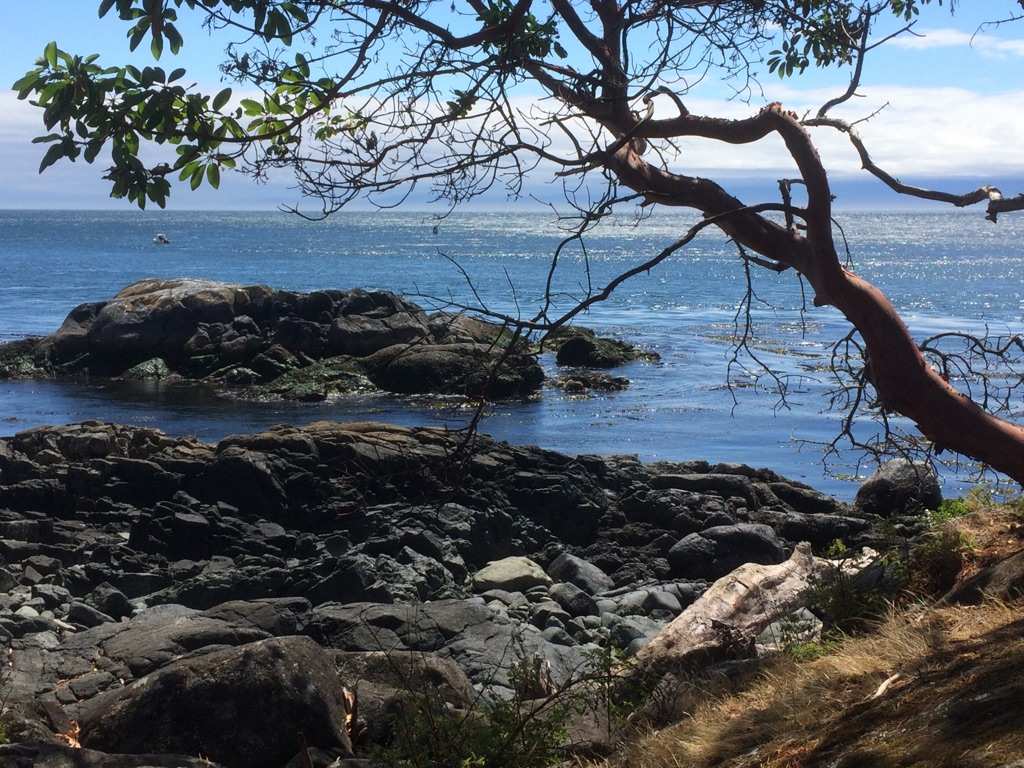
Alldridge Point
48.31673, -123.63840Magnifique baie. Pétroglyphes à proximité.
2.49 km
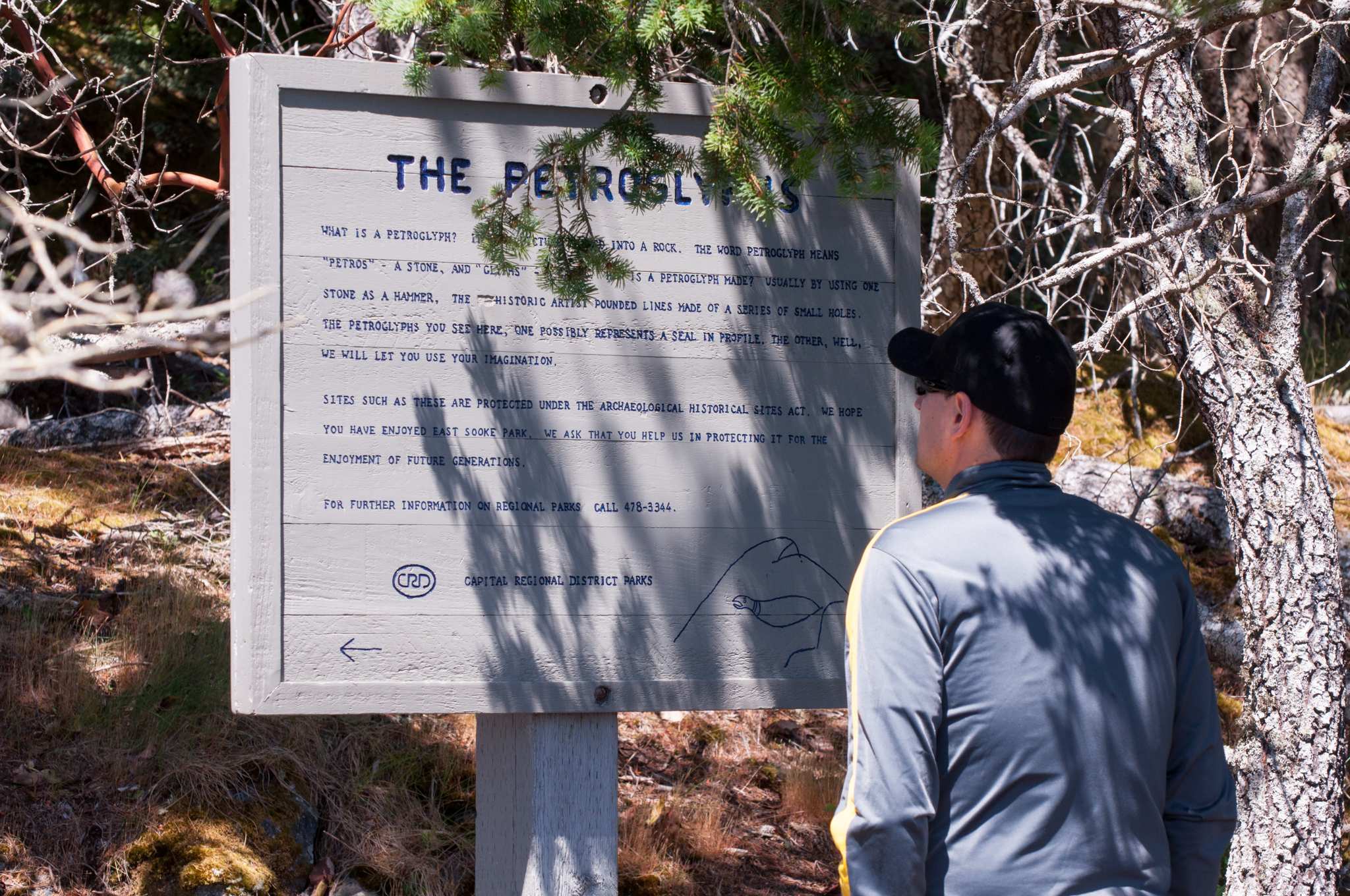
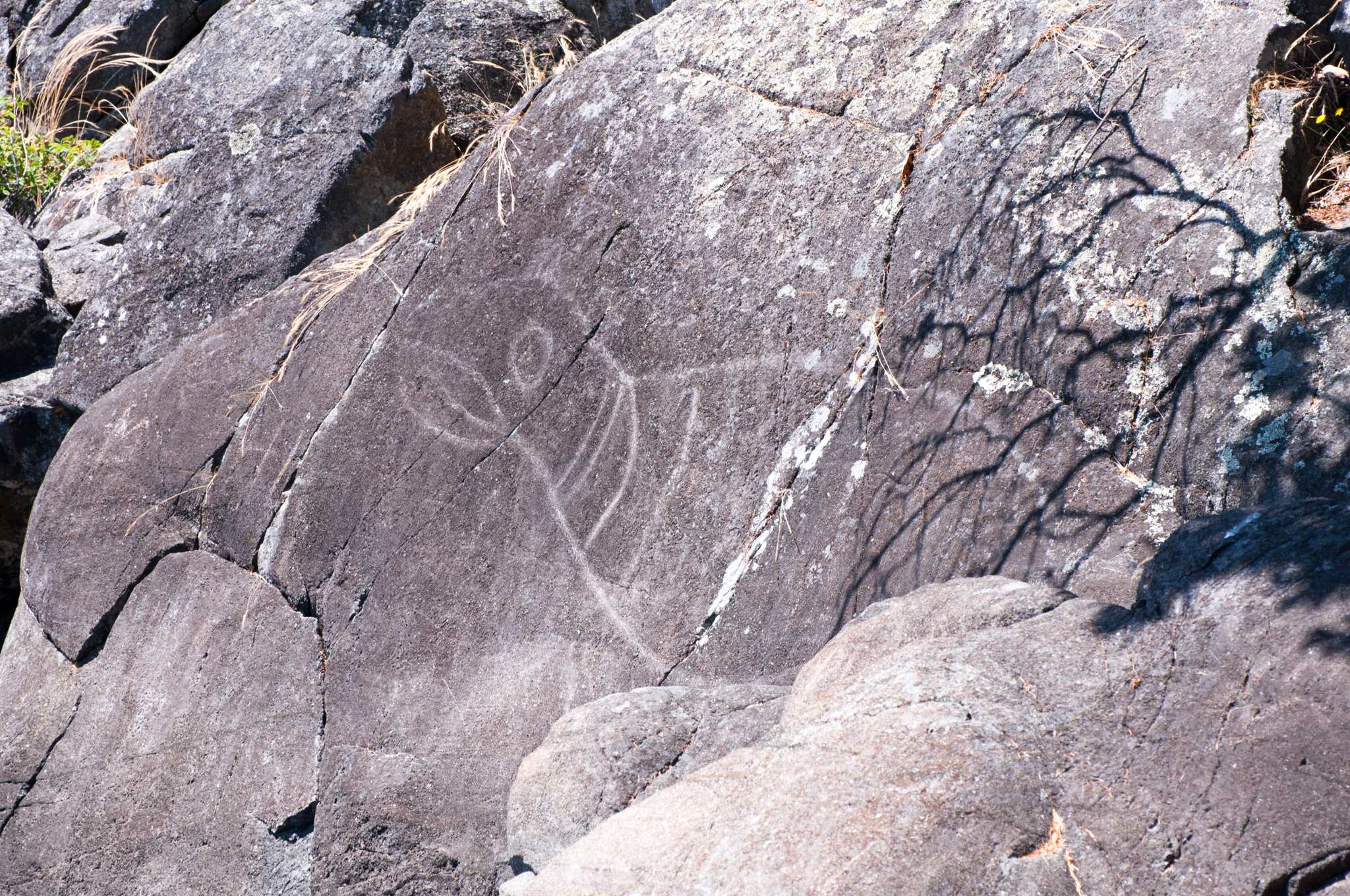
The Petroglyphs
48.31660, -123.63850Hier wurde von den Ureinwohnern Amerikas mit Hilfe von Steinwerkzeugen ein Bild von einem riesigen Seelöwen in den Stein gemeiselt.
3.93 km

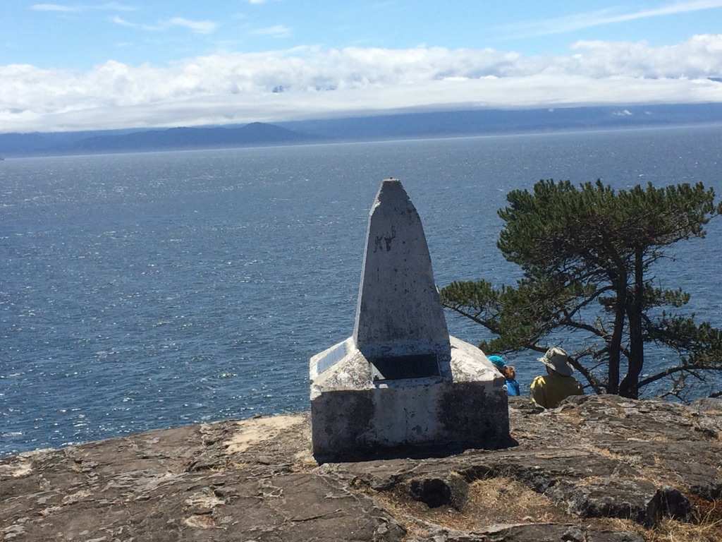
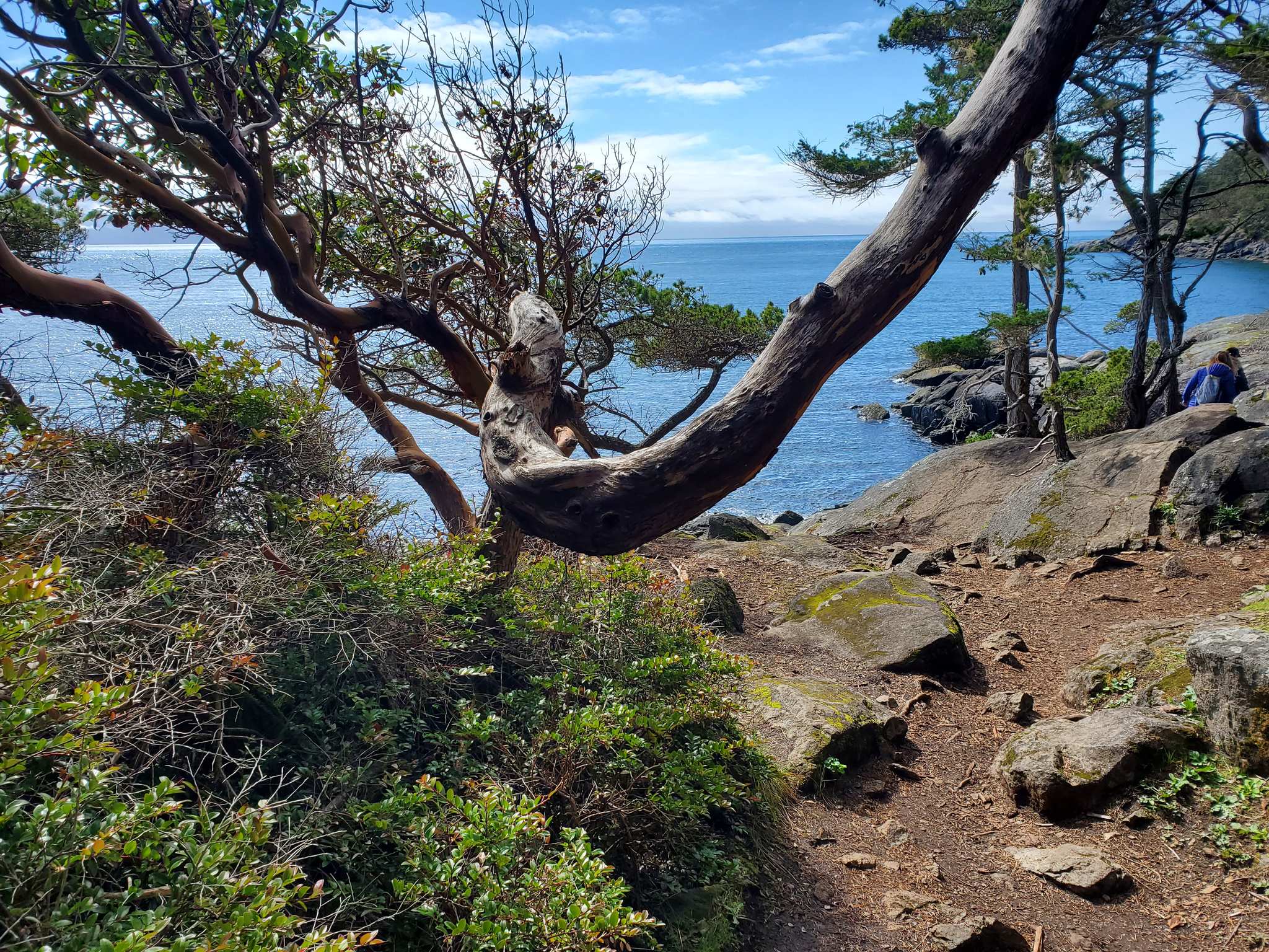
Beechey Head
48.31417, -123.65298Schöne Aussicht auf die US Küste.
5.91 km
Finish