

Muckross Lake loop — Killarney National Park
July 04, 2025
Moderate
Not completed
Description

No description for now...
Route
Start
Parking
52.01951, -9.50120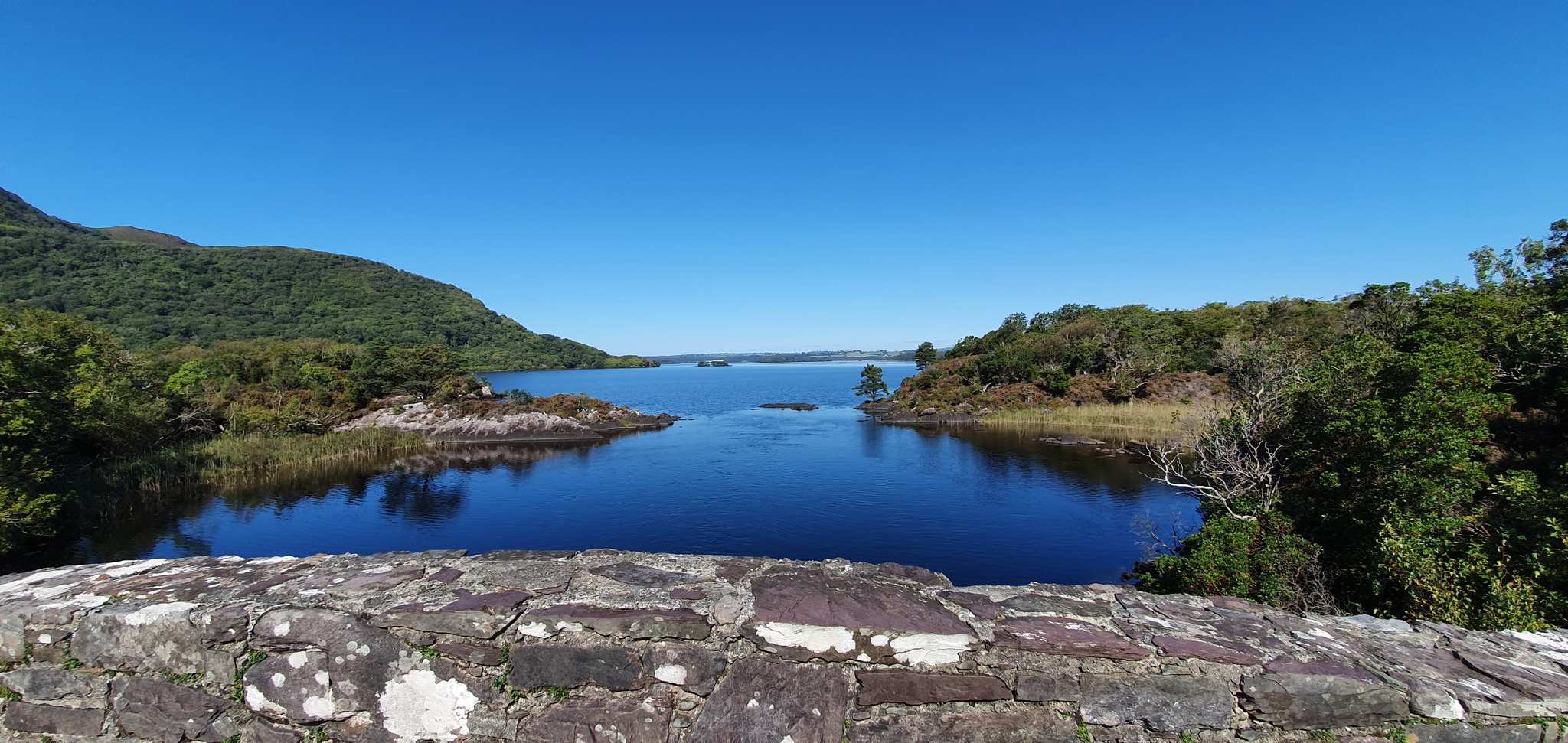
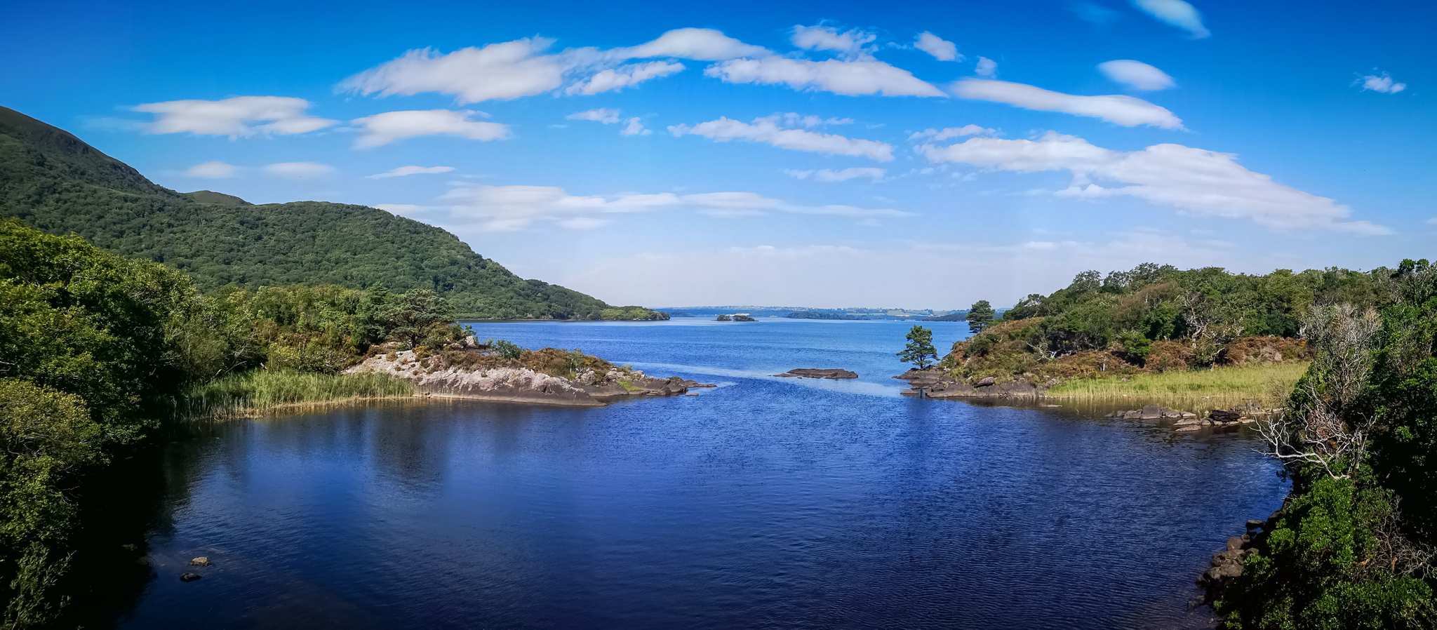
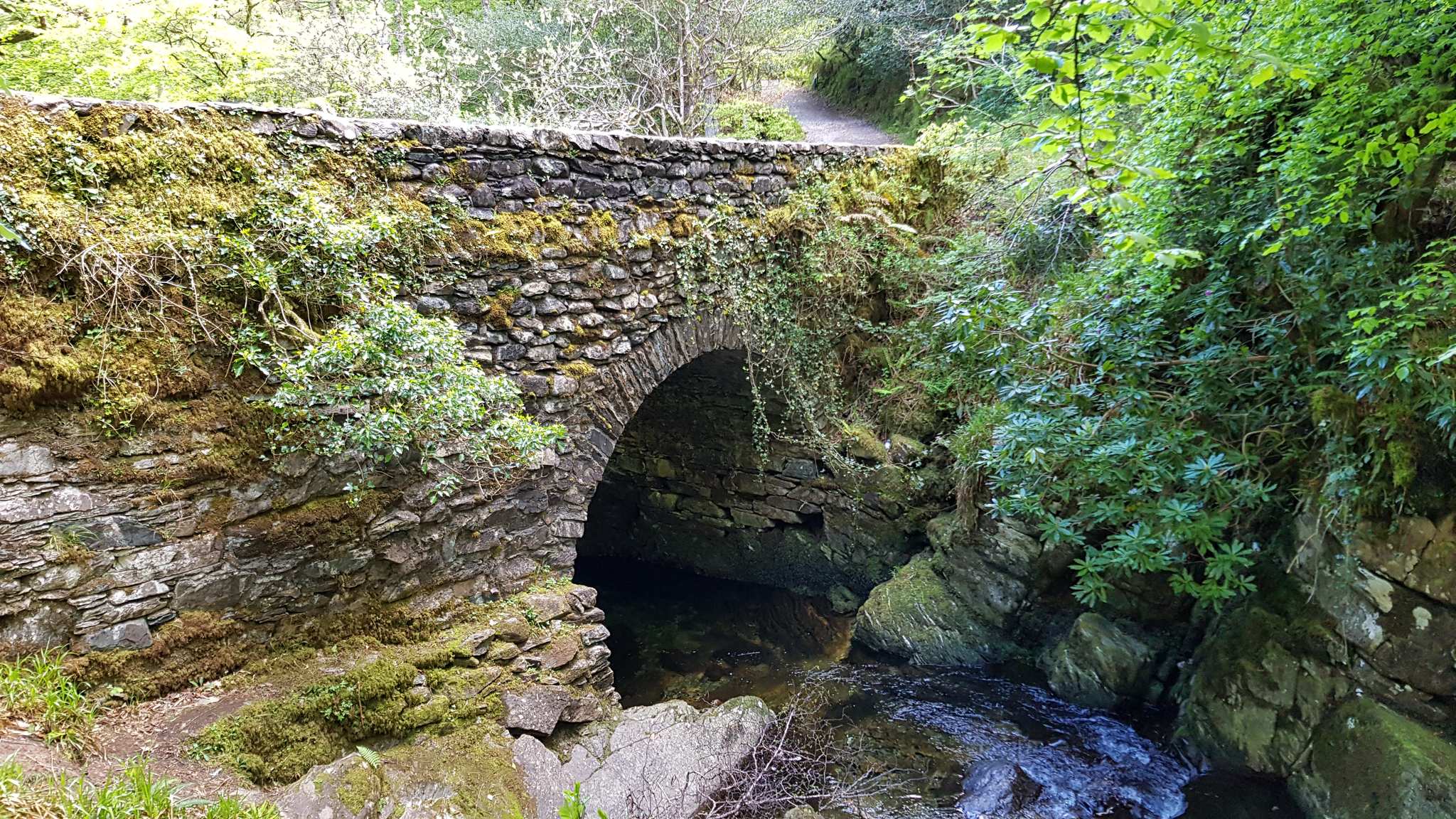
View of Muckross Lake from Brickeen Bridge
52.01521, -9.54742Eine der alten Steinbrücken, wie man sie in Irland häufig antrifft. Vom Wasser aus hat man einen besonders schönen Blick auf das Bauwerk.

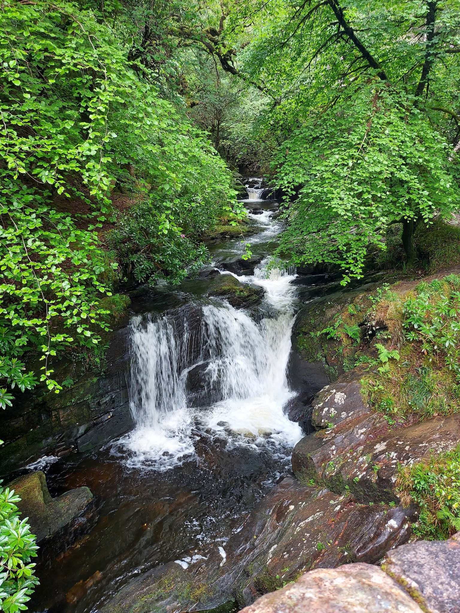
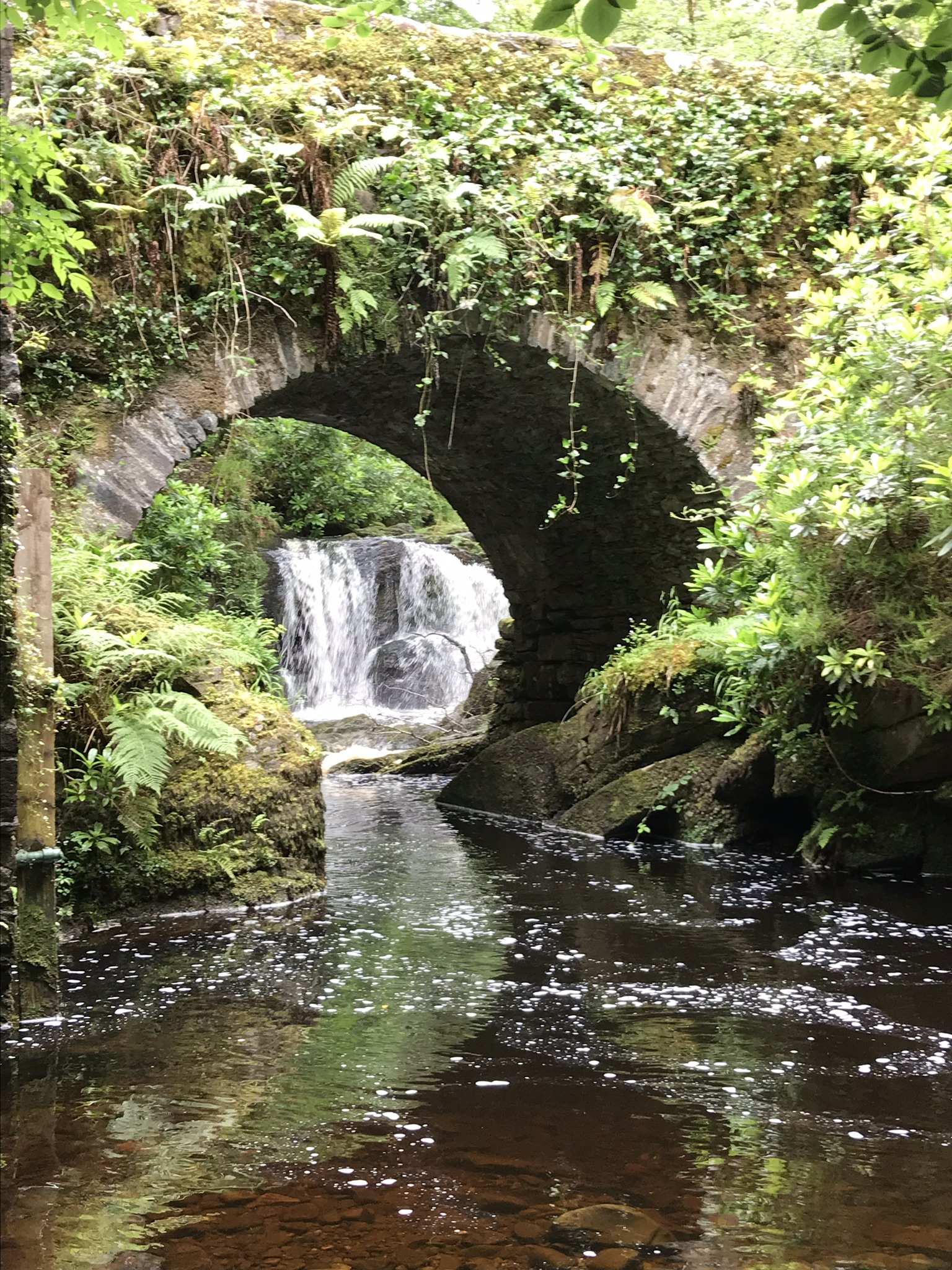
Old Kenmare Road Stone Bridge and Waterfall
52.00094, -9.50624An der Brücke kann man auch ein paar Meter am Wasser entlang laufen. Fantastisch 🙂
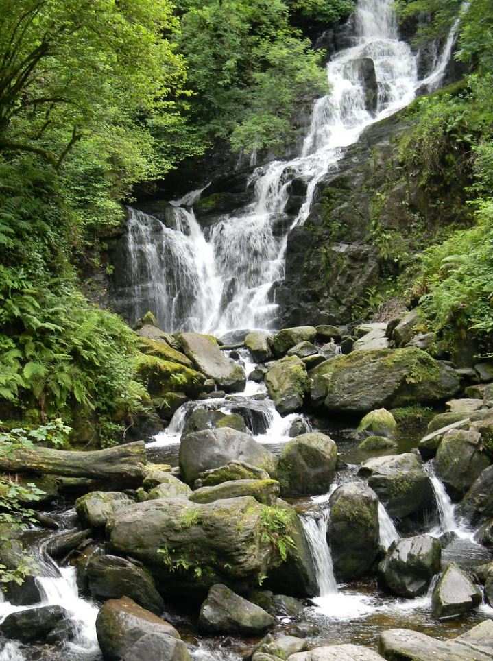
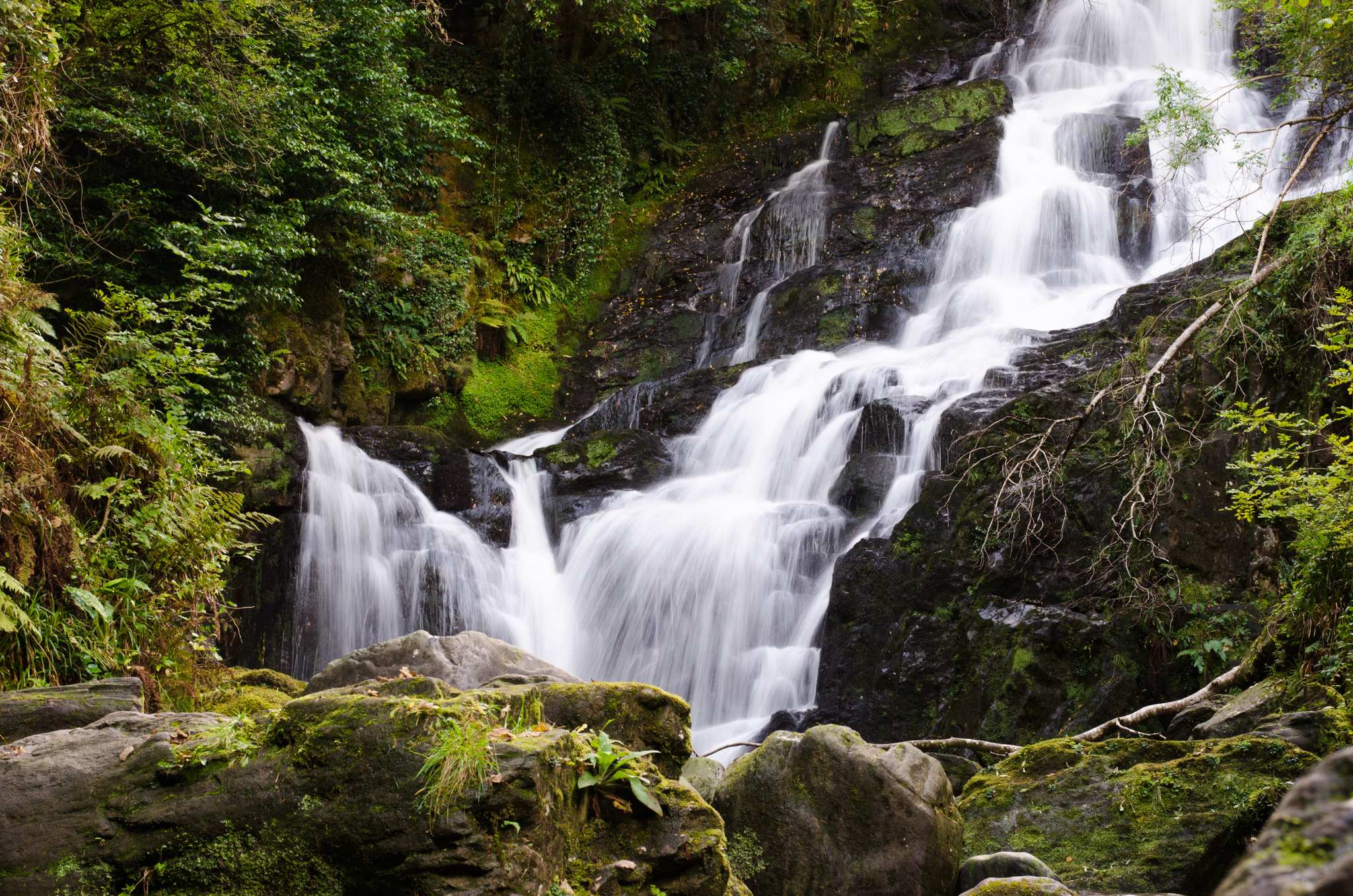
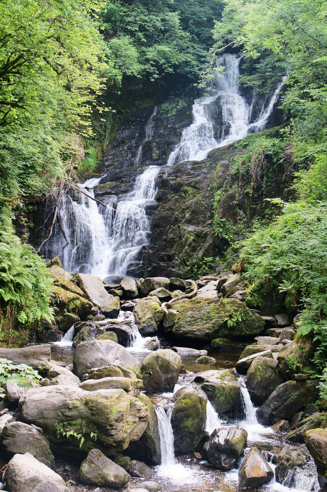
Torc Waterfall
52.00391, -9.50624Der Torc Waterfall liegt mitten im Killarney National Park und ist zu Fuß gut erreichbar. Die höchste Fallhöhe beträgt 18m. Ein lohnenswertes Ziel jeder Wanderung (z.B. auf dem Weg zum Torc Mountain oder entlang des Kerry Ways).
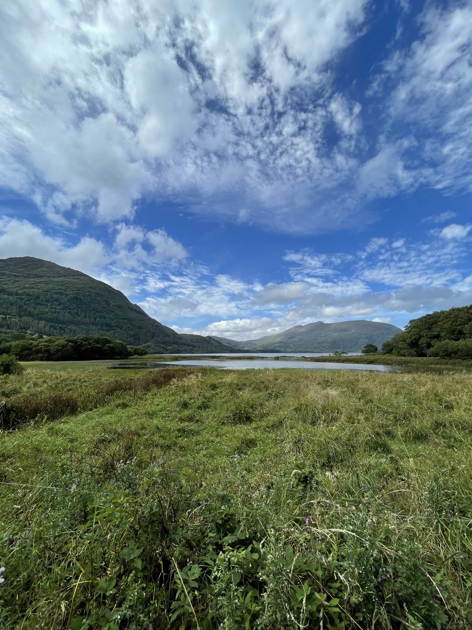
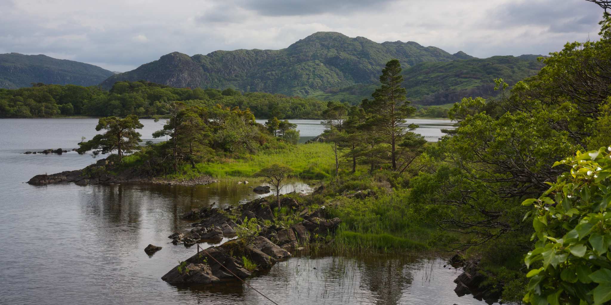
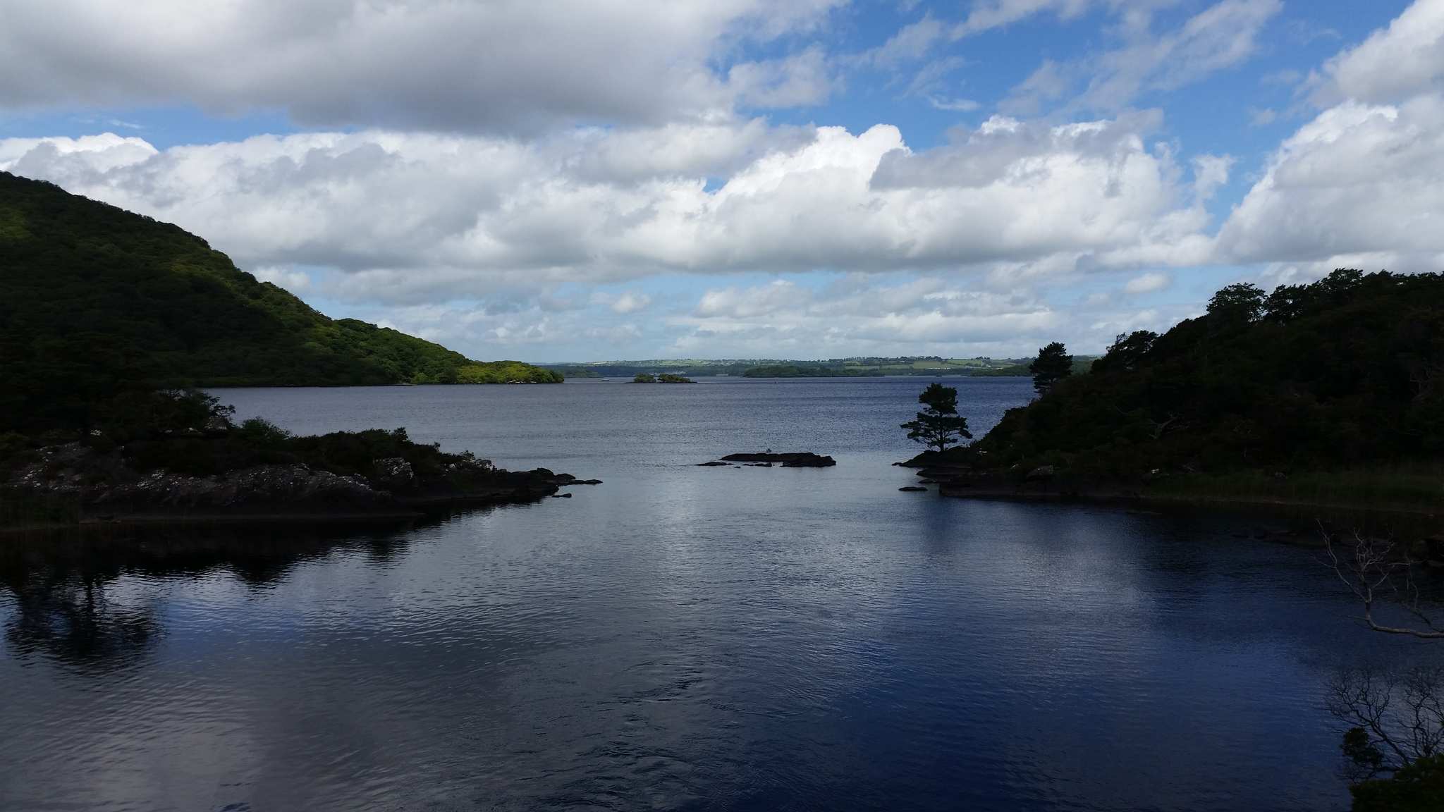
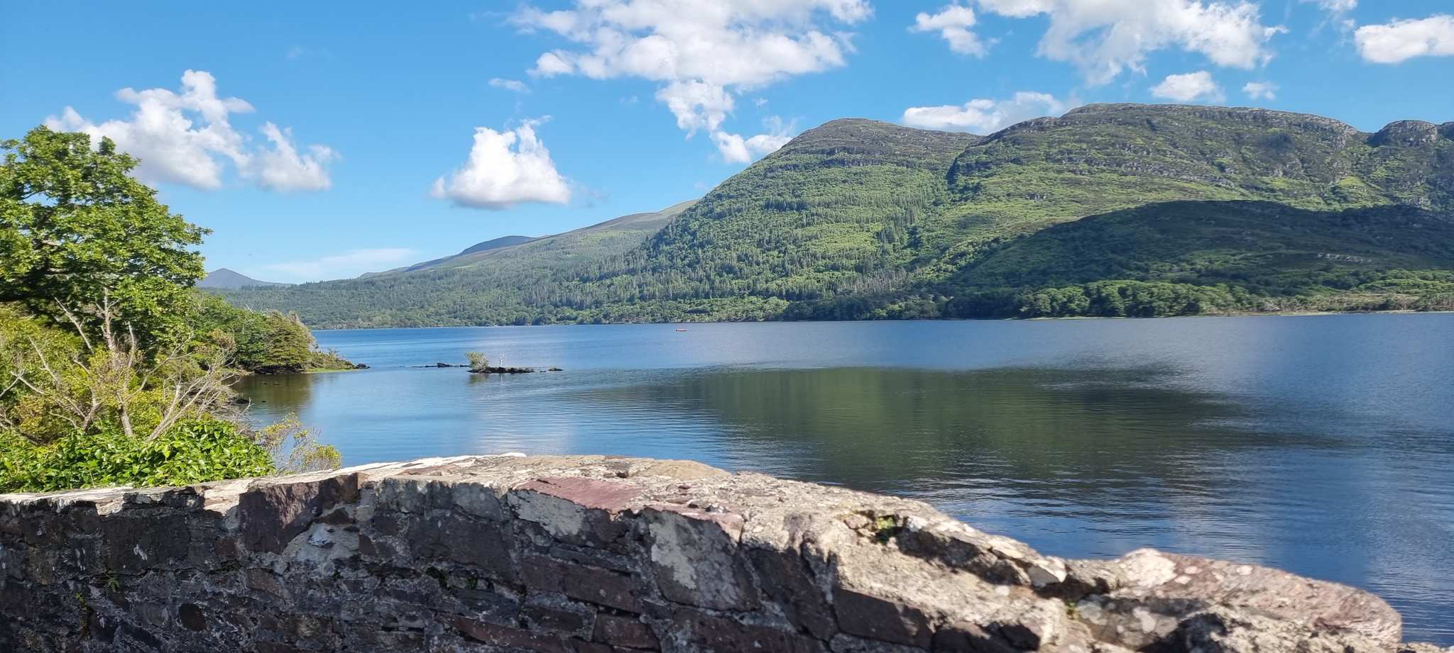
Muckross Lake
52.01077, -9.50712Muckross Lake is also known as the Middle Lake (the other two being Lough Leane and Upper Lake), or the Torc, for its proximity to Torc Mountain. It is Ireland's deepest lake at 75 meters maximum depth. Legend has it that it is inhabited by a monstrous eel. As said eel has not been defeated by a saint as yet, it must be harmless. Trout and salmon fishing are legal in the lake.
13.85 km
Finish